

Turning Elevation Into Insight
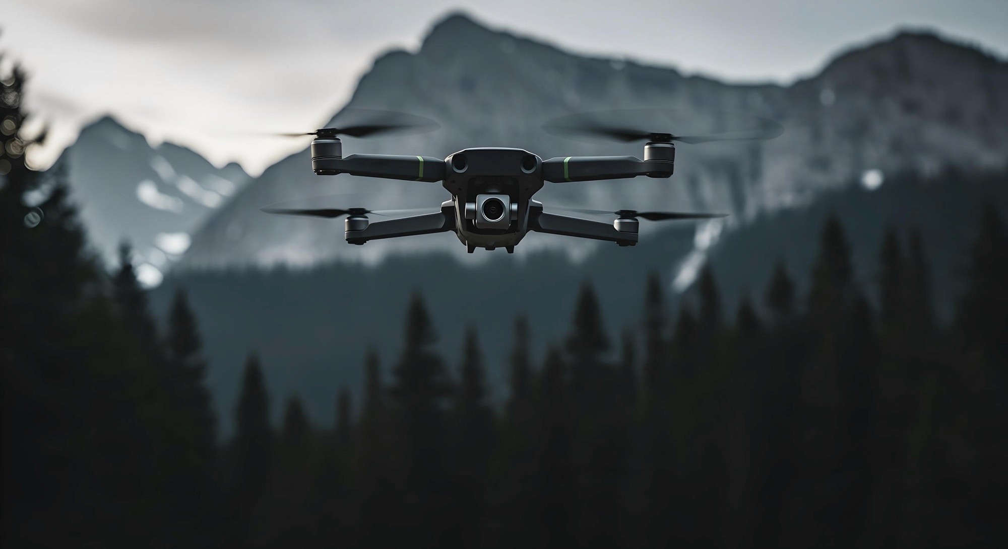
Aerial data has quietly become one of the most powerful assets in modern decision-making. With drones capable of scanning landscapes, capturing structural details, and mapping large areas with remarkable precision, businesses now have access to information that was once costly and difficult to obtain. These insights go far beyond visuals — they form the backbone of strategies across agriculture, construction, energy, and environmental monitoring.
By merging high-resolution imagery with advanced analytics, drones help organizations understand patterns, detect problems, and optimize workflows. From crop health assessments to infrastructure risk detection, aerial data enables teams to move from assumptions to confident, data-driven results.
How Aerial Intelligence Improves Real-World Outcomes
Drones can generate an entire ecosystem of information: elevation models, multispectral heat maps, volumetric measurements, and structural assessments. This data empowers teams to monitor changes over time, spot emerging issues early, and adapt strategies with precision.
Companies now use drone-generated metrics to reduce waste, prevent downtime, and streamline operations — often with results that surpass traditional manual inspections. As one analyst explained:
“Aerial data doesn’t just reveal what’s happening — it reveals why, and what to do next.”
Such clarity transforms guesswork into measurable progress across industries.
Key Data Advantages from Drone Technology
High-Resolution Mapping – crisp detail for surveying, planning, and documentation
Multispectral Analysis – identifying vegetation health, soil conditions, and water stress
Thermal Imaging – detecting heat loss, equipment failure, and energy inefficiencies
Volumetric Calculations – accurate measurements for mining, construction, and logistics
Time-Series Monitoring – tracking changes with consistent aerial updates
A Data-Driven Future Powered by Drones
As AI and cloud processing mature, aerial insights will become even more refined. Automated modeling, predictive analytics, and real-time alerts will help organizations stay ahead in rapidly changing environments.
Ultimately, drones are becoming essential decision-making tools — bringing clarity, accuracy, and confidence to every strategic choice. In an increasingly data-focused world, aerial intelligence ensures decisions are smarter, faster, and far more reliable.

